The attraction finder

Follow your curiosity.

A waterfall, a mountain village or a monastery in the hills? Search by name, choose a category or narrow the view to a country.

35 places to explore

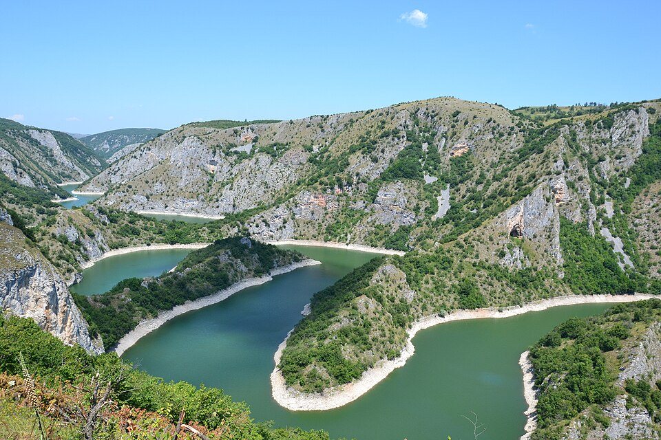
Uvac meanders
Uvac meanders · Photo credit
Serbia / Viewpoints

Uvac meanders

A limestone canyon where the reservoir curls through dramatic bends and griffon vultures ride the thermals.

Access & visiting notes

Use an approved approach to a visitor parking area; continue to the viewpoints on foot. Reserve rules apply.
Locate on map ↗
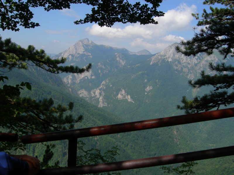
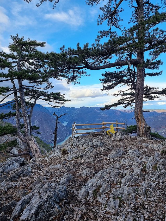
Tara & Banjska Stena
Tara & Banjska Stena · Photo credit
Serbia / Mountains & plateaus

Tara & Banjska Stena

A forested mountain landscape above the Drina, with one of western Serbia's memorable canyon panoramas.

Access & visiting notes

Drive on permitted park roads, park at the designated area and walk the final viewpoint trail.

Locate on map ↗
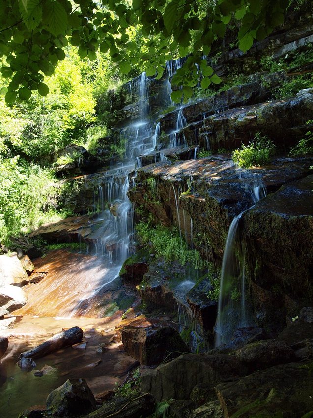
Tupavica Waterfall
Tupavica Waterfall · Photo credit
Serbia / Waterfalls

Tupavica Waterfall

A cool forest stop near Dojkinci in the Stara Planina region, best combined with village exploration.

Access & visiting notes

Approach via Dojkinci and use the marked walking route. Do not treat the waterfall path as a vehicle track.

Locate on map ↗
Rača Monastery
Rača Monastery · Photo credit
Serbia / Churches & monasteries

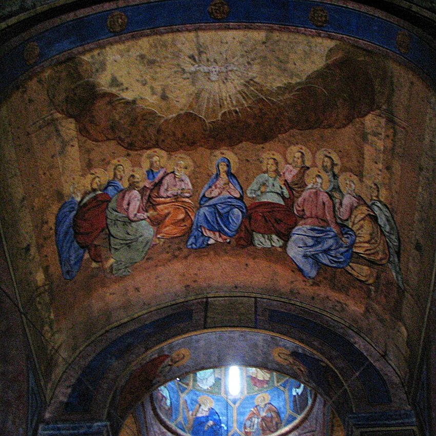
Rača Monastery

A peaceful monastery near Bajina Bašta, linking the Tara foothills with Serbia's medieval religious heritage.

Access & visiting notes

Road-access cultural stop; leave vehicles in visitor parking and respect worshippers.

Locate on map ↗
Zaovine Lake area
Zaovine Lake area · Photo credit
Serbia / Lakes & camping bases

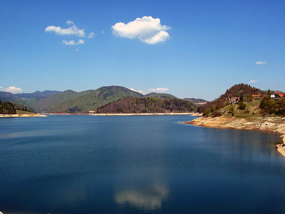
Zaovine Lake area

Reservoir scenery and scattered mountain settlements make a calm base for exploring Tara.

Access & visiting notes

Choose an established campsite or obtain landowner and park permission. This pin is an area, not an authorised wild pitch.

Locate on map ↗
Lukomir
Lukomir · Photo credit
Bosnia & Herzegovina / Villages & heritage

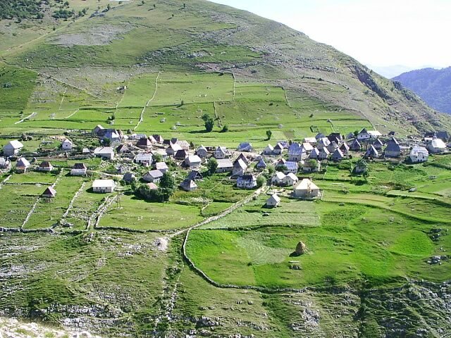
Lukomir

Stone houses and wide Bjelašnica views make this highland village an unforgettable slow-travel stop.

Access & visiting notes

The approach includes a winding gravel section. Ask locally about weather and access; park outside the village.

Locate on map ↗
Blidinje plateau
Blidinje plateau · Photo credit
Bosnia & Herzegovina / Mountains & plateaus

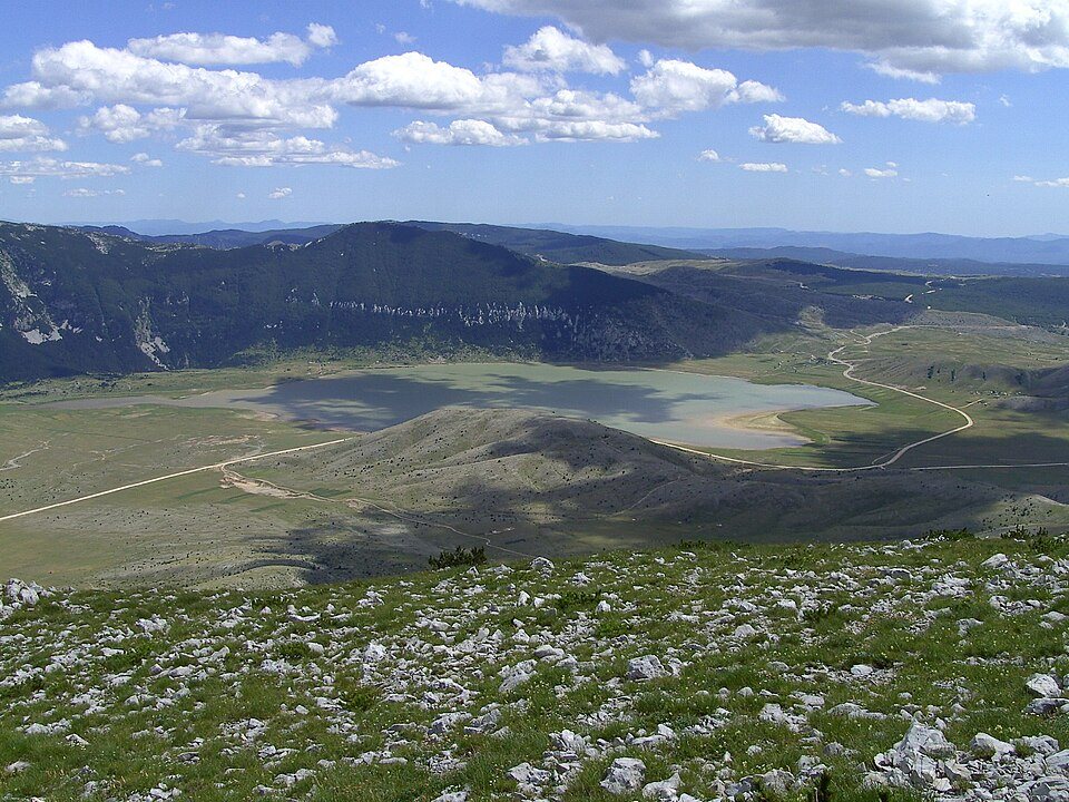
Blidinje plateau

A broad karst landscape between mountain slopes, with lake views and traces of pastoral life.

Access & visiting notes

Use permitted roads and visitor areas. Keep vehicles off the lake shore, meadows and protected habitat.

Locate on map ↗
Dragoš Sedlo viewpoint
Dragoš Sedlo viewpoint · Photo credit
Bosnia & Herzegovina / Viewpoints

Dragoš Sedlo viewpoint

A window over the Perućica forest and the surrounding mountain walls of Sutjeska.

Access & visiting notes

Arrange park-authorised access and confirm the short walking approach with the park; entry into Perućica is controlled.

Locate on map ↗
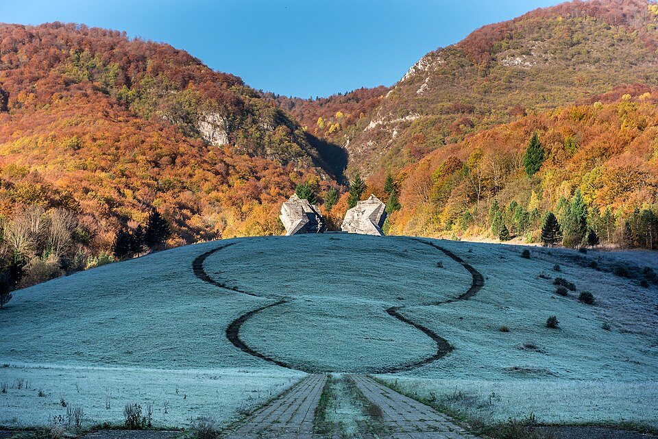
Tjentište memorial
Tjentište memorial · Photo credit
Bosnia & Herzegovina / Monuments & history

Tjentište memorial

Sculptural concrete wings commemorate the Battle of Sutjeska in a striking mountain setting.

Access & visiting notes

A road-access heritage stop. Park in designated areas and visit the monument on foot.

Locate on map ↗
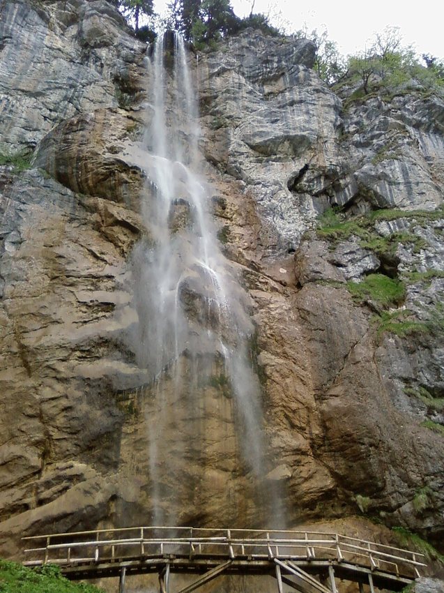
Skakavac near Sarajevo
Skakavac near Sarajevo · Photo credit
Bosnia & Herzegovina / Waterfalls

Skakavac near Sarajevo

A high waterfall in wooded country north of Sarajevo, suited to a day combining a rural approach and a walk.

Access & visiting notes

Stop at the permitted access point and follow marked walking trails. Confirm the local route before setting out.

Locate on map ↗
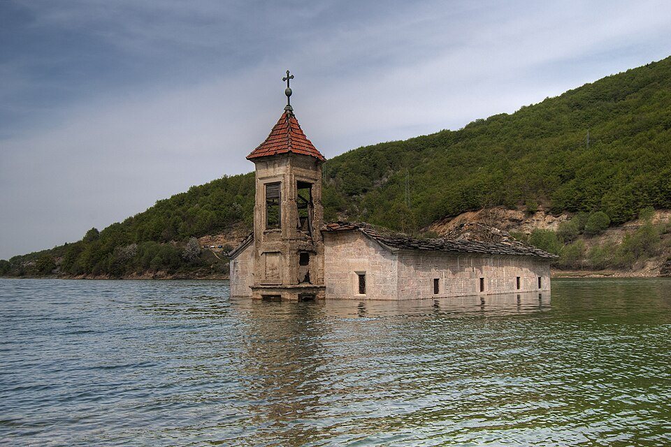
Mavrovo Lake
Mavrovo Lake · Photo credit
North Macedonia / Lakes & camping bases

Mavrovo Lake

Water, mountain forests and small settlements form a scenic base in western North Macedonia.

Access & visiting notes

Follow public lakeside roads. Use established accommodation or approved campsites; do not drive onto exposed lakebed.

Locate on map ↗
Galičnik
Galičnik · Photo credit
North Macedonia / Villages & heritage

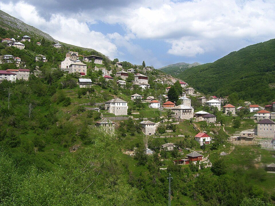
Galičnik

A highland village known for its stone architecture, mountain setting and wedding traditions.

Access & visiting notes

Road-access village with weather-dependent highland approaches. Walk the narrow village lanes.

Locate on map ↗
Bigorski Monastery
Bigorski Monastery · Photo credit
North Macedonia / Churches & monasteries

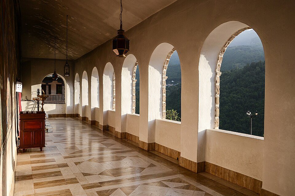
Bigorski Monastery

A mountain monastery above the Radika valley, celebrated for its rich carved-wood interior.

Access & visiting notes

Use the public access road and visitor parking; check visiting arrangements and dress respectfully.

Locate on map ↗
Kokino
Kokino · Photo credit
North Macedonia / Monuments & history

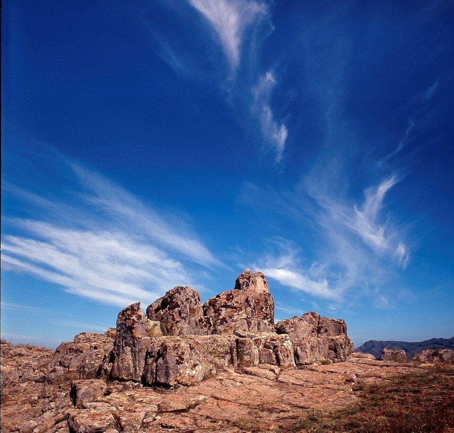
Kokino

A rocky archaeological site in the hills near Kumanovo, with open views across the surrounding landscape.

Access & visiting notes

Drive to the visitor approach and explore the rock site on foot. Check access conditions locally.

Locate on map ↗
Matka Canyon
Matka Canyon · Photo credit
North Macedonia / Rivers & gorges

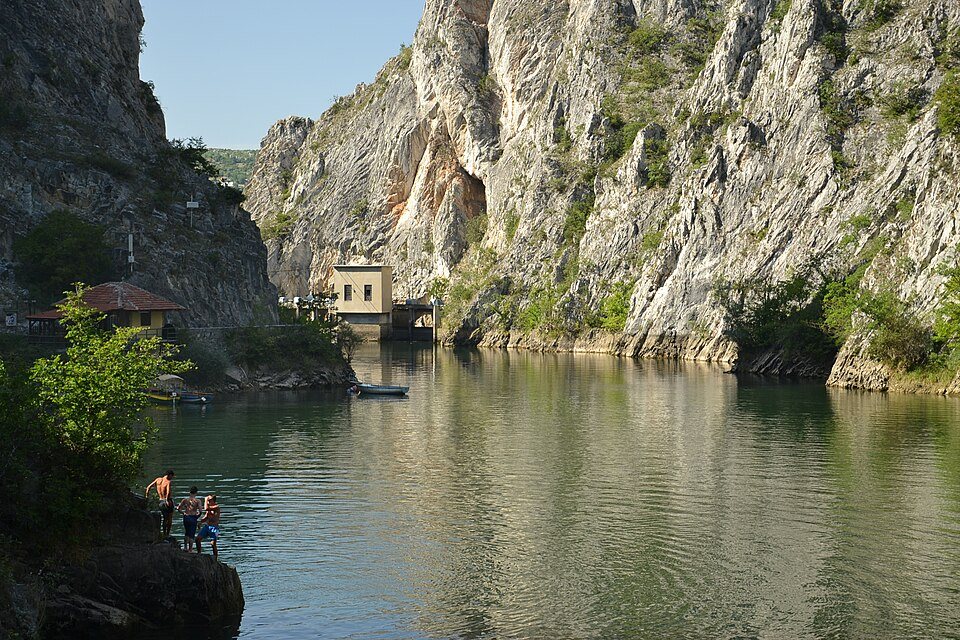
Matka Canyon

A dramatic gorge close to Skopje, combining waterside walks, rock scenery and cultural stops.

Access & visiting notes

Road approach to the visitor area; walking and boat activities beyond. The gorge is not a vehicle route.

Locate on map ↗
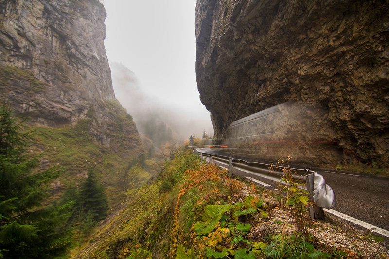
Sedlo Pass
Sedlo Pass · Photo credit
Montenegro / Scenic roads

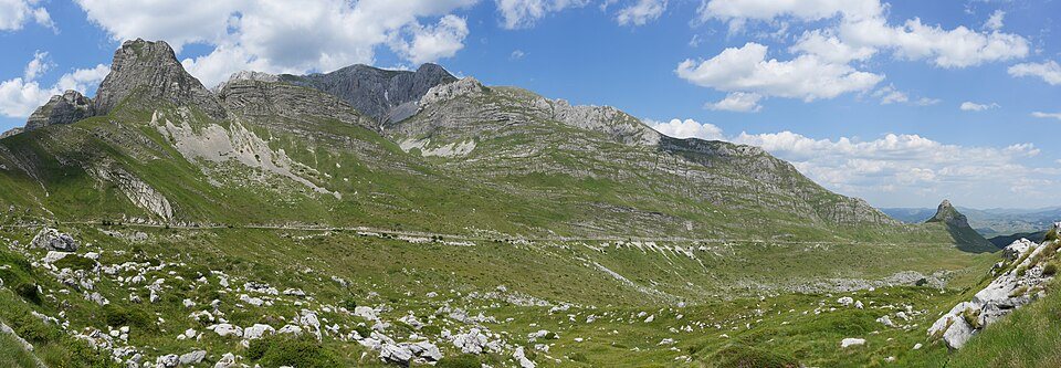
Sedlo Pass

A narrow panoramic road threads the limestone scenery of the Durmitor massif.

Access & visiting notes

Paved scenic drive, not an off-road trail. Check current road status and allow room for oncoming traffic.

Locate on map ↗
Sinjajevina plateau
Sinjajevina plateau · Photo credit
Montenegro / Mountains & plateaus

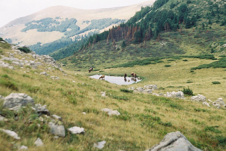
Sinjajevina plateau

Rolling highland pasture, distant ridges and seasonal katuns reward careful, locally informed exploration.

Access & visiting notes

Pin marks a broad region. Use only confirmed open roads, respect grazing land and seek local advice before gravel travel.

Locate on map ↗
Bjelasica katun country
Bjelasica katun country · Photo credit
Montenegro / Mountains & plateaus

Bjelasica katun country

Green mountain slopes and seasonal settlements offer a close look at Montenegro's pastoral landscape.

Access & visiting notes

Plan with a local guide and confirm which roads permit vehicles; protected areas have separate rules.

Locate on map ↗
Tara Canyon bridge
Tara Canyon bridge · Photo credit
Montenegro / Rivers & gorges

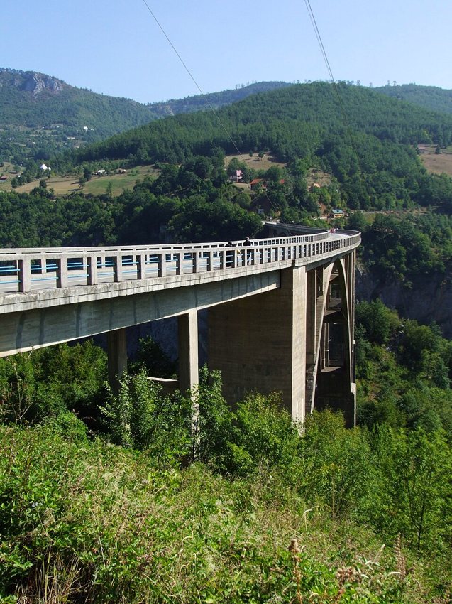
Tara Canyon bridge

The Đurđevića Tara Bridge overlooks a deep river canyon and makes an easy stop between mountain regions.

Access & visiting notes

Use road-access parking and viewpoints. Never drive into the river or onto rafting access paths.

Locate on map ↗
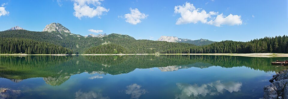
Black Lake, Žabljak
Black Lake, Žabljak · Photo credit
Montenegro / Lakes & camping bases

Black Lake, Žabljak

A forest-framed mountain lake and a good place to leave the vehicle behind for a shoreline walk.

Access & visiting notes

Park at the official visitor area. Lake trails are for walking; overnight stays belong at approved campsites.

Locate on map ↗
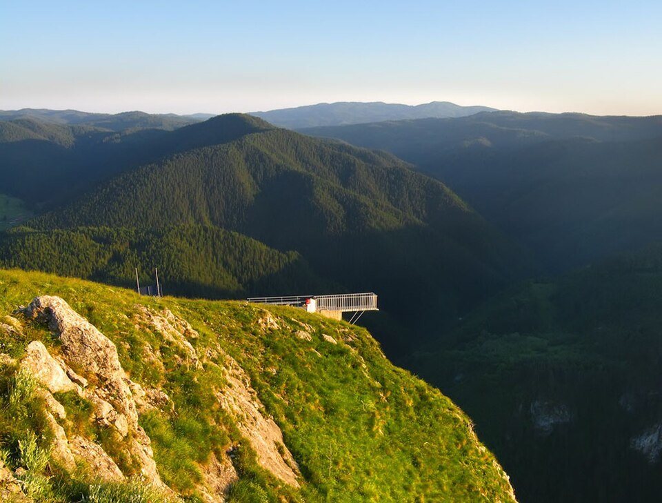
Eagle's Eye, Yagodina
Eagle's Eye, Yagodina · Photo credit
Bulgaria / Viewpoints

Eagle's Eye, Yagodina

A lofty viewing platform above the Rhodope landscape near Yagodina and Buynovo Gorge.

Access & visiting notes

Use a locally authorised 4x4 excursion or the marked hike. Confirm arrangements and avoid self-driving an unverified track.

Locate on map ↗
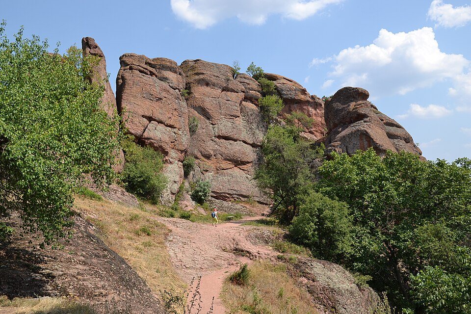
Belogradchik Rocks
Belogradchik Rocks · Photo credit
Bulgaria / Rock formations

Belogradchik Rocks

Red sandstone towers and fortress walls create a distinctive natural and historic skyline.

Access & visiting notes

Public-road approach and visitor parking; explore the fortress and rock paths on foot.

Locate on map ↗
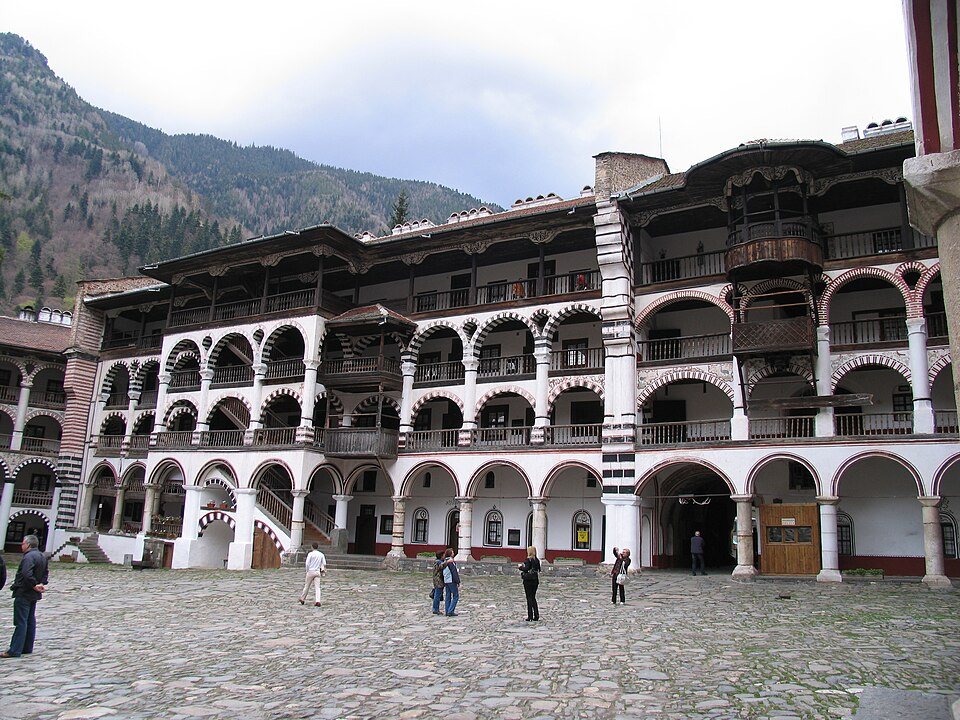
Rila Monastery
Rila Monastery · Photo credit
Bulgaria / Churches & monasteries

Rila Monastery

Arcaded courtyards and painted facades make this mountain monastery a rewarding cultural detour.

Access & visiting notes

Road-access monastery. Park in designated spaces; check opening arrangements and follow the dress code.

Locate on map ↗
Trigrad Gorge & Devil's Throat
Trigrad Gorge & Devil's Throat · Photo credit
Bulgaria / Caves & gorges

Trigrad Gorge & Devil's Throat

A narrow Rhodope gorge pairs high limestone walls with a well-known show-cave visit.

Access & visiting notes

Scenic road approach. Cave entry is a managed walking visit; check local opening and weather conditions.

Locate on map ↗
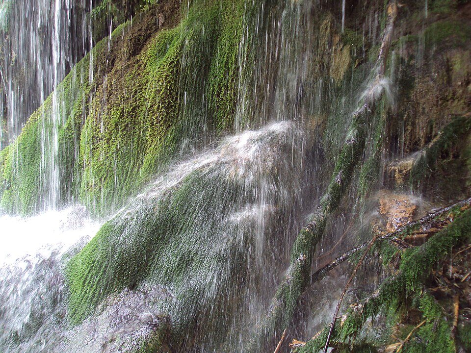
Krushuna Waterfalls
Krushuna Waterfalls · Photo credit
Bulgaria / Waterfalls

Krushuna Waterfalls

Terraced cascades and wooded walking paths offer a gentler interlude between mountain regions.

Access & visiting notes

Use visitor parking and marked paths. No vehicle access to the waterfall terraces.

Locate on map ↗
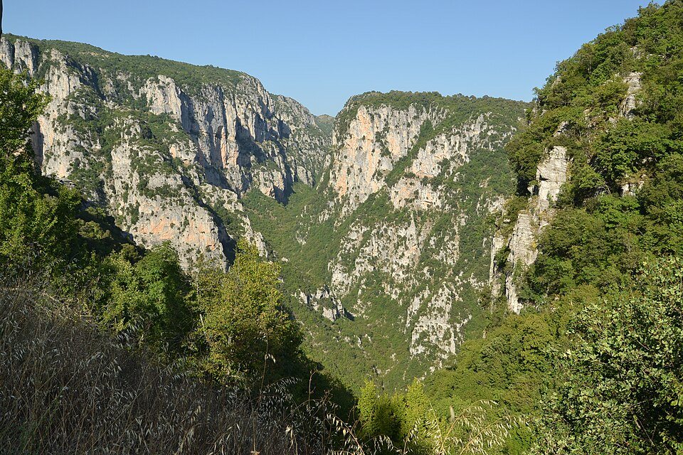
Vikos Gorge, Oxya viewpoint
Vikos Gorge, Oxya viewpoint · Photo credit
Greece / Viewpoints

Vikos Gorge, Oxya viewpoint

A vast limestone cleft in the Zagori landscape, best appreciated slowly from viewpoints and walking paths.

Access & visiting notes

Road approach from Monodendri; walk the final viewpoint section. Check trail conditions before any descent.

Locate on map ↗
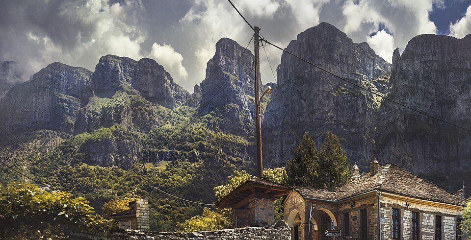
Mikro & Megalo Papigo
Mikro & Megalo Papigo · Photo credit
Greece / Villages & heritage

Mikro & Megalo Papigo

Stone-built villages sit below the Astraka cliffs, with cobbled lanes and a powerful mountain backdrop.

Access & visiting notes

Public-road approach. Park at designated village spaces and explore on foot.

Locate on map ↗
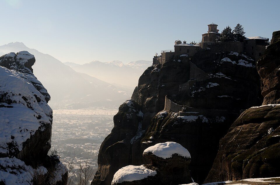
Meteora
Meteora · Photo credit
Greece / Churches & monasteries

Meteora

Monasteries crown extraordinary rock pillars above Kalambaka, uniting landscape and living religious heritage.

Access & visiting notes

Paved approach roads; monastery visits involve walking or steps. Check individual visiting days and dress requirements.

Locate on map ↗
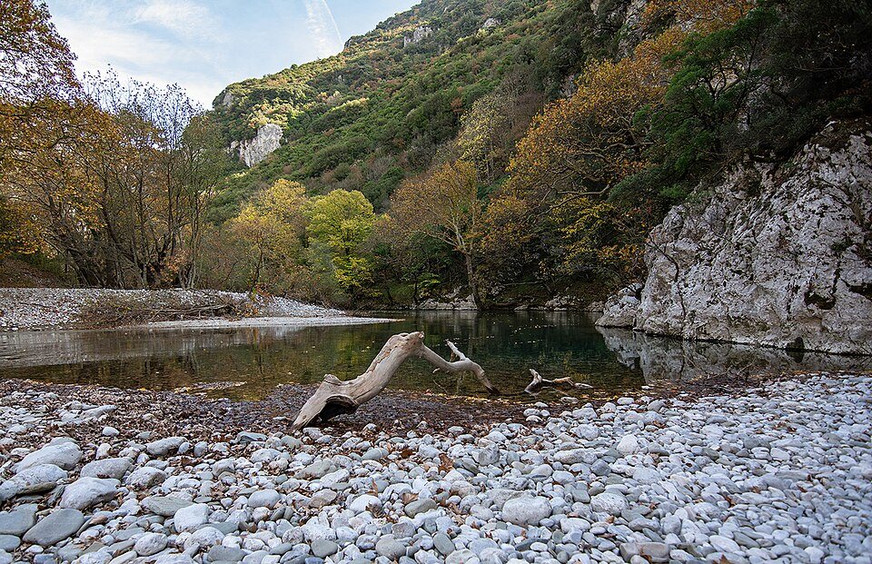
Voidomatis River
Voidomatis River · Photo credit
Greece / Rivers & gorges

Voidomatis River

Clear water, plane trees and old stone crossings make the Zagori river corridor a beautiful pause.

Access & visiting notes

Use existing roads and designated recreation areas. Keep vehicles out of the water and riverbank habitat.

Locate on map ↗
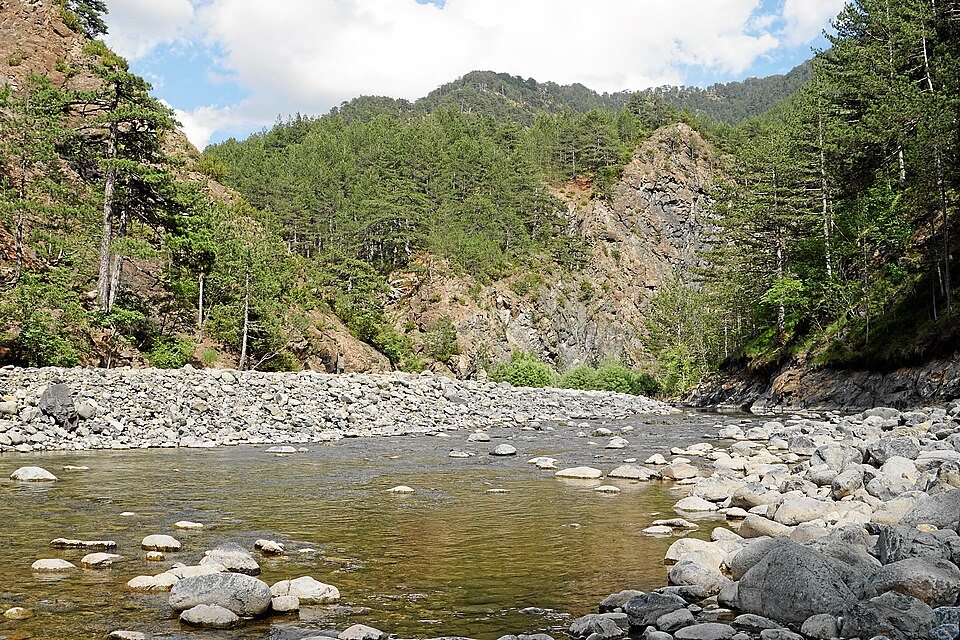
Valia Kalda / Pindus
Valia Kalda / Pindus · Photo credit
Greece / Forests & nature

Valia Kalda / Pindus

Remote Pindus forest country with a strong sense of mountain wilderness and rich wildlife habitat.

Access & visiting notes

Protected landscape. Arrange a locally authorised guided visit; do not assume forest tracks are open to private vehicles.

Locate on map ↗
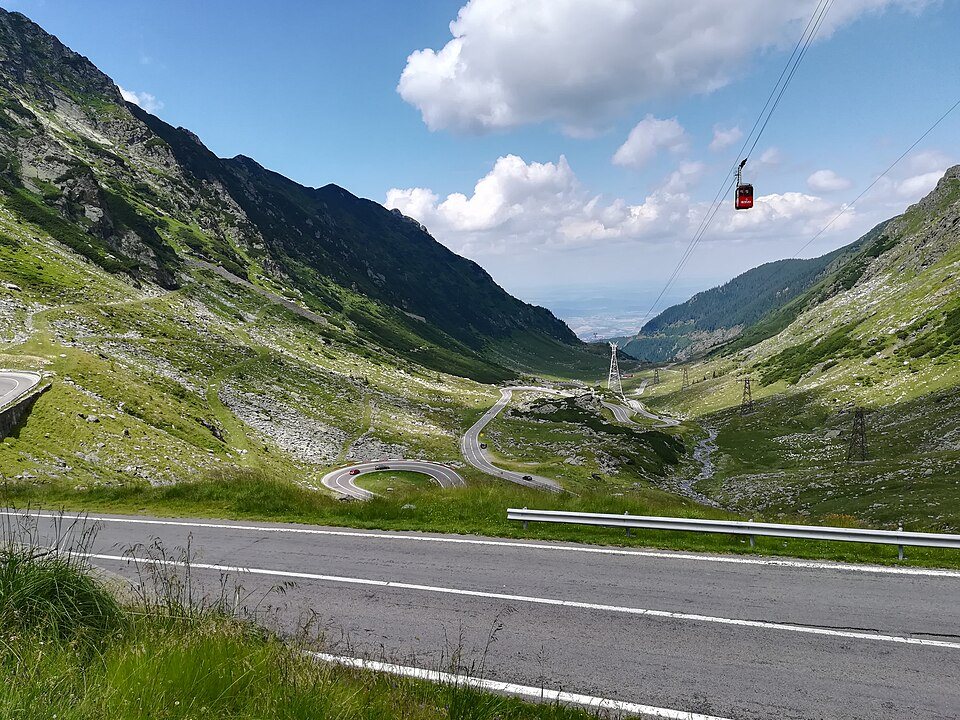
Transfăgărășan & Bâlea Lake
Transfăgărășan & Bâlea Lake · Photo credit
Romania / Scenic roads

Transfăgărășan & Bâlea Lake

Hairpin bends rise into a dramatic Carpathian landscape around the high lake of Bâlea.

Access & visiting notes

Paved mountain road with seasonal closures. Check the road authority before travel; park only in authorised areas.

Locate on map ↗
Padiș, Apuseni Mountains
Padiș, Apuseni Mountains · Photo credit
Romania / Mountains & plateaus

Padiș, Apuseni Mountains

Karst plateaus, forest and walking routes make Padiș a rewarding base for cave-country exploration.

Access & visiting notes

Use confirmed open access roads and designated parking; protected-area routes and cave trails require separate checks.

Locate on map ↗
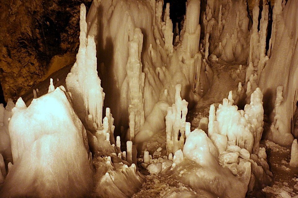
Scărișoara Ice Cave
Scărișoara Ice Cave · Photo credit
Romania / Caves & gorges

Scărișoara Ice Cave

A remarkable underground ice deposit in the Apuseni region, visited as a managed cave experience.

Access & visiting notes

Drive to the recognised village approach and walk to the cave. Check opening, steps and current visitor arrangements.

Locate on map ↗
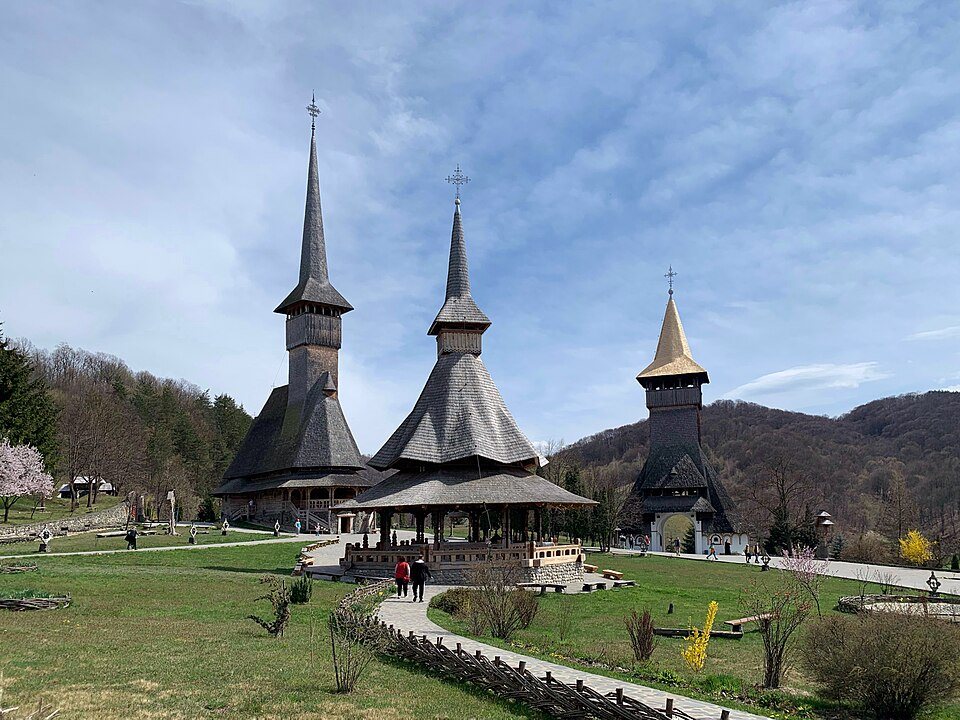
Bârsana Monastery
Bârsana Monastery · Photo credit
Romania / Churches & monasteries

Bârsana Monastery

Timber towers, landscaped grounds and Maramureș craftsmanship create an atmospheric cultural stop.

Access & visiting notes

Public-road access and visitor parking. The monastery complex is explored on foot.

Locate on map ↗
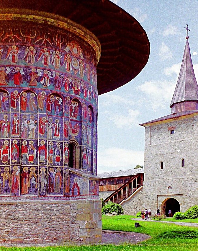
Voroneț Monastery
Voroneț Monastery · Photo credit
Romania / Churches & monasteries

Voroneț Monastery

A painted monastery in Bucovina, known for its vivid exterior frescoes and distinctive blue tones.

Access & visiting notes

Road-access heritage visit. Check visiting hours, photography rules and respectful dress.

Locate on map ↗

These are places to discover, not verified driving routes. Public access, road condition, permits and seasonal closures must be checked locally. Map pins are approximate destination locations, not parking or trail navigation. Regional photographs illustrate the wider destination and are labelled accordingly.